Every Thursday, the Near Surface Geophysics Laboratory in Rood Hall holds article discussion sessions under the guidance of Dr. Dogan about different topics.
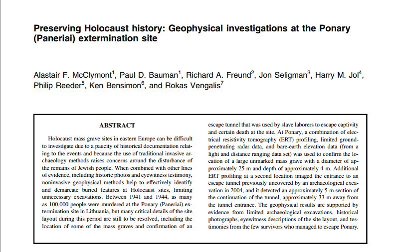
This week, we read an article that has significant importance for science, history, and society. The article written by McClymont et al. “Preserving Holocaust history: Geophysical investigations at the Ponary (Paneriai) extermination site” (2022) is about an extermination campsite (Holocaust mass grave) in recent history in Eastern Europe Lithuania where nearly 100,000 people were killed in the years 1940s. Since there is a lack of information about the Ponary history, it has been ascertained, based on primary sources (first-hand accounts) as well as some archaeological evidence obtained in 2004, that there is a piece of evidence for an escape tunnel and undiscovered pit locations. In order to preserve history and to conduct research without damaging this area, which is known to be mass graves, non-destructive geophysical research methods were preferred which were previously used in tomb research, that does not require any archaeological excavation.
The researchers examined the existing information and data regarding the field before beginning their study and decided what strategies they would use. Electrical Resistivity Tomography (ERT), Ground Penetrating Radar (GPR) methods, and LiDAR images were utilized for the field survey in 2016. The survey profiles were generated based on the information found in archaeological reports and the relevant positions identified in digital elevation data. The project goals are to figure out the locations of unidentified mass graves and tunnel where the people managed to escape in 1944.
The electrical resistivity of earth materials depends on its type, porosity, and the level of salinity in the pore water. Materials that are finer generally have reduced resistivity, while compression or consolidation can also influence it. By taking these physical differences into account, ERT can differentiate between newly filled ground, such as graves, and natural native material. The pits that were previously built for a different purpose were filled with the remnants of the people who had been burnt and then covered with the sandy soil which was taken out from there. Due to the differences predicted in the resistance in the surrounding environment, the electrical resistivity tomography (ERT) technique was implemented by multi-gradient arrays.
Ground-penetrating radar (GPR) is a process that picks up electromagnetic pulses reflected from the subsurface beneath a profile by transmitting radiowaves from a ground-level antenna. The reflected signals are analyzed and produce an image similar to an ultrasound, with the ability to detect buried objects and subsurface layers up to a few meters deep. Two distinct GPR method were implemented Groundradar UltraGPR system and Sensors & Software pulseEKKO system.
The digital elevation model which is prepared by using 2015 LiDAR image was employed to adjust the geophysical model cross-sections to account for differences in terrain elevation. Also, aerial photos taken in the World War-II were used for the detection of the undiscovered mass grave locations at the beginning of the survey. At first, 120 m-long ERT profile were collected oriented southwest-to-northeast axis over the circular pits, which is known as 20-30 m diameter, with minimum 1m electrode spacing. Data processing were investigated by RES2DINV tomographic inversion software. GPR profiles were taken parallel to the ERT profiles in a 40x40m grid (0.25m inline spacing and 1.0m crossline spacing) approximately centered over the area of the detected pit by ERT profile.
As a result of geophysical research, ERT, GPR, and the LiDAR topography data analysis confirmed the existence of the mass graves and a part of the escape tunnel with their sizes and locations.
by Aylin Yildirim
You may read full-text of the article in the following link:

